
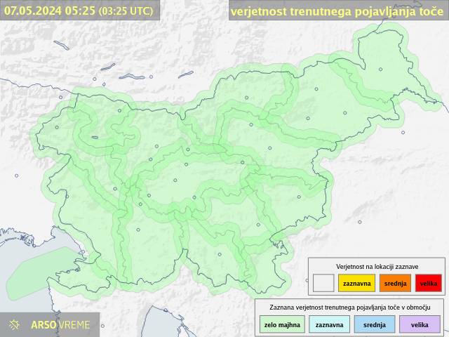
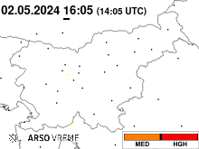
Hail probability

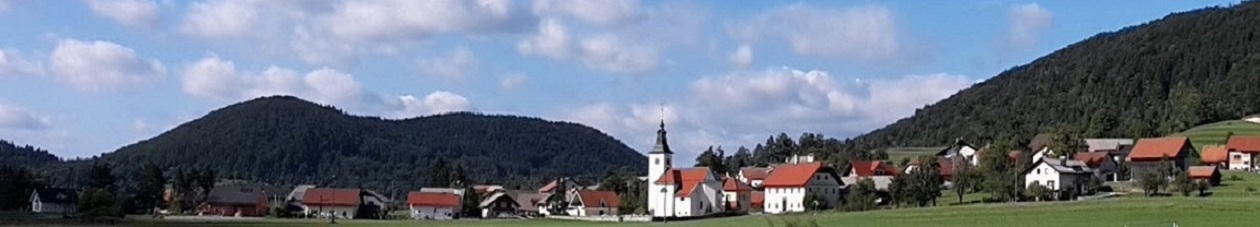
Weather station camera
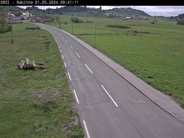
Road camera
Visit our other sites:


Weather warnings as shown on Meteo.si
Click on image for the ARSO site with a lot of extra information
| LAST PICTURE | LATEST 1/2h |
|---|
For the regions
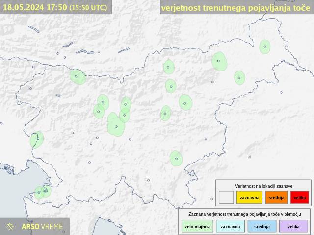
Barve označujejo verjetnost, da se ob prikazanem času na obarvanih območjih pojavlja toča (zelena - ZELO MAJHNA, rumena - ZAZNAVNA; oranžna - MED/medium SREDNJA; rdeča - HGH/high VELIKA).
Prikazi so izdelani na podlagi trenutnih podatkov meteoroloških radarjev in so odvisne od razpoložljivosti radarskih meritev državne mreže meteoroloških postaj.
Trenutno državna meteorološka služba upravlja en meterološki radar (Lisca).
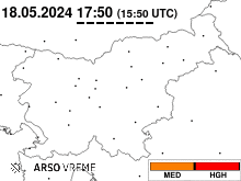
For the cities
Barve označujejo verjetnost, da se ob prikazanem času na obarvanih območjih pojavlja toča (zelena - ZELO MAJHNA, rumena - ZAZNAVNA; oranžna - MED/medium SREDNJA; rdeča - HGH/high VELIKA).
Prikazi so izdelani na podlagi trenutnih podatkov meteoroloških radarjev in so odvisne od razpoložljivosti radarskih meritev državne mreže meteoroloških postaj.
Trenutno državna meteorološka služba upravlja en meterološki radar (Lisca).
Source: »Slovene Public Information«, EARS - meteo.si
You find our weather info also at:
|
|
|
|
|


Equipment we use:
Weather-station |
Weather-program |
Weather-server |
Provider |
|
|
|
|


17 users online | Valid HTML5 | Valid CSS
Never base important decisions on this or any weather information obtained from the Internet
 Most visitors on website: 890 (23. Januar 2023)
Meteorological data of weather stations Rakitna is unofficial, the meteorological station isn’t a part of the National Meteorological Service of Slovenia (ARSO),
but it is included in the Weather organization ZEVS. The data is measured precisely and are exclusively
for informative purposes and does not have the character of the official data.
The data is measured by the weather station "Davis VP2+ aspirated" from 05.03.2011.
We are warning, that we don’t take any responsibilities for any possible damage, resulting from the decisions taken on the basis of these data.